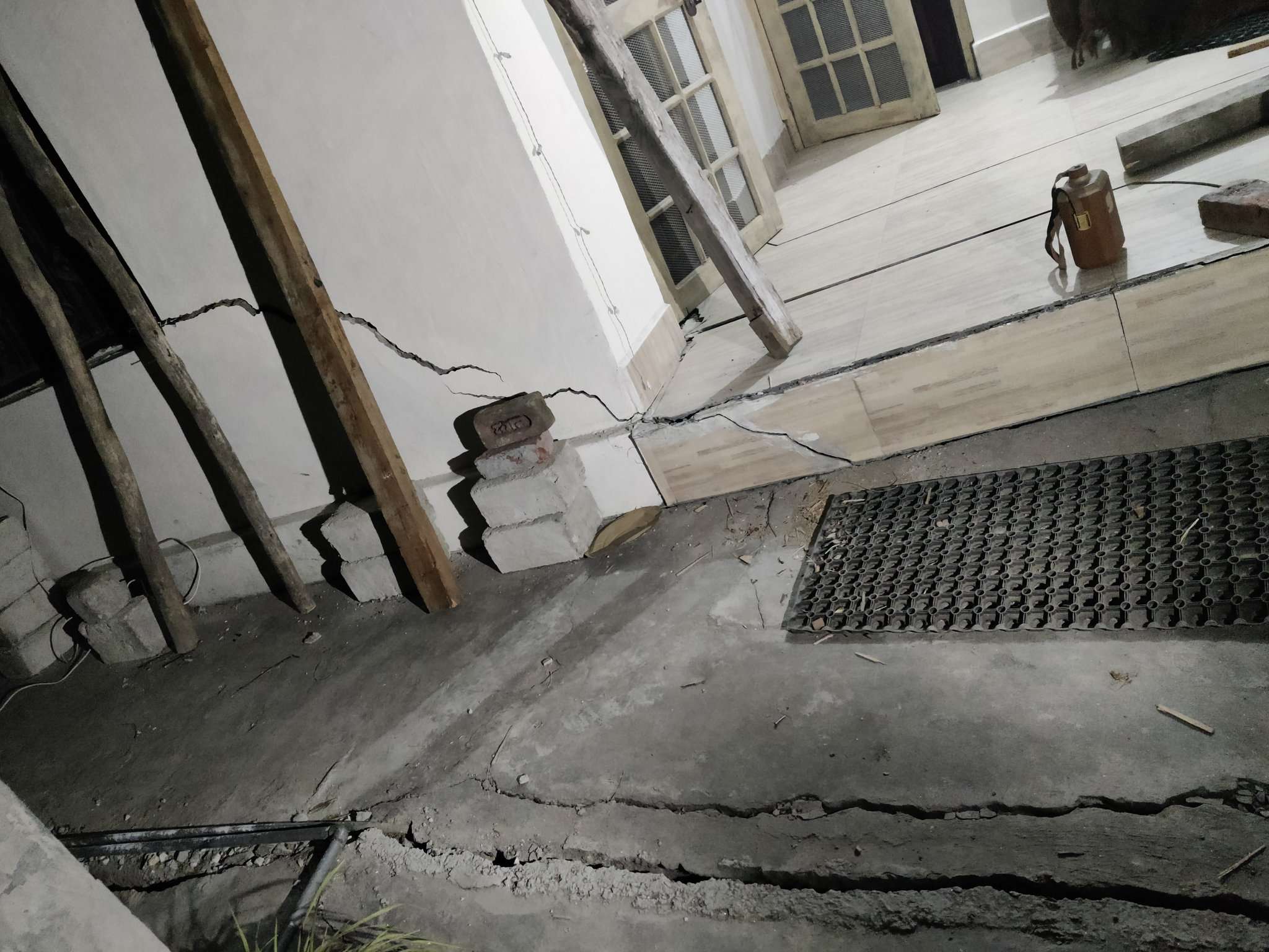
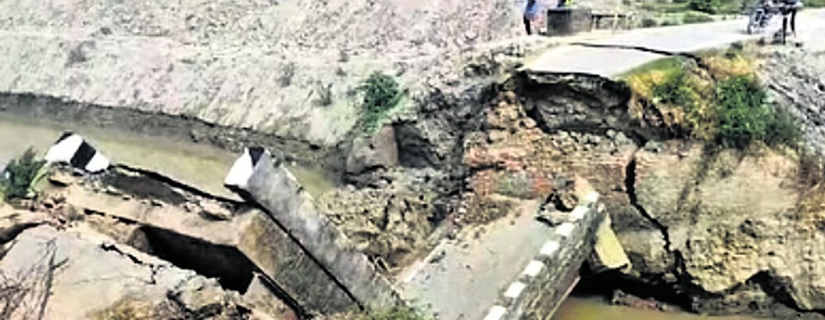
Cases of land submergence are increasing in the hill towns of Uttarakhand, causing concern among residents, particularly after similar incidents were reported in Karnaprayag. Over 50 houses in Karnaprayag have developed fissures and incidents of “land sinking” have also been reported. In response, a team of expert geologists, including Garhwal Commissioner Sushil Kumar and Disaster Management Secretary Ranjit Kumar Sinha, conducted a thorough survey of the affected areas in Joshimath and instructed the deployment of an NDRF team. The team also conducted a door-to-door survey in the affected areas of Joshimath, including Manohar Bagh, Singdhar, JP, Marwari, Sunil Gaon, Vishnu Prayag, Ravigram, and Gandhinagar. The team also visited Tapovan to assess the work being done inside and outside the NTPC tunnel.
With a population of about 50,000, Karnaprayag is located at an altitude of 860 meters above sea level, while Joshimath is situated at an altitude of 1,890 meters. Karnaprayag is approximately 80 km from Joshimath. Over 50 families living in Bahugunanagar, CMP Band, and the upper part of Sabzi Mandi in Karnaprayag are in panic as cracks have appeared in the walls, courtyards, and roofs of their houses.
The government established a panel on Friday to conduct a “rapid study” of land subsidence in Joshimath. The panel consists of representatives from the Ministry of Environment and Forest, the Central Water Commission, the Geological Survey of India, and the National Mission for Clean Ganga.


