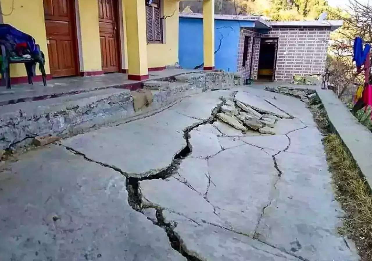
According to Prof. Rajeev Sinha, head of the Kanpur IIT Geological Research team, the situation in Joshimath, an area affected by landslides and land subsidence, could deteriorate if there is rain or an earthquake. This conclusion was made after conducting a survey of the upstream and downstream regions near Joshimath.
“The cracks and destruction had started earlier. It’s winter season. But after a spell of rain or if an earthquake hits this area, the situation would be beyond control,” said Prof Sinha.
Dr. Sinha cited three main reasons behind the present tragedy of Joshimath: “Firstly, this is an active zone and comes in zone 5. Secondly, this area is earthquake and landslide-prone. Thirdly, the whole area is built on the debris of old landslide and whatever development has happened after that, the foundations of the houses have been unplanned and they have been built in a clumsy way.”
“The water flow amid the cracks of the stones is increasing and the water flow pressure is making the situation further worse,” added Dr. Sinha.
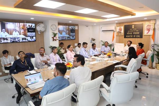
The IIT survey team has been conducting surveys near the Alakananda and Dhauliganga rivers for two years as part of an NTPC plant project. As a result of their findings, the Center has formed a team of experts from seven different organizations to study and provide recommendations for preserving the holy town of Joshimath. The team, comprising members from the National Disaster Management Authority (NDMA), National Institute of Disaster Management, Geological Survey of India, IIT Roorkee, Wadia Institute of Himalayan Geology, National Institute of Hydrology and Central Building Research Institute, were tasked with assessing the situation and giving recommendations on how to address it. This decision was made during a high-level meeting chaired by Principal Secretary to Prime Minister PK Mishra.


